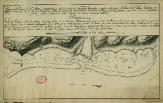
Cliquer sur l’image pour l’agrandir Titre : Plano del Puerto de Santa María Magdalena (Águila), y por sus Naturales Tayarabu…
Cartographie
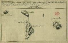
Cliquer sur l’image pour l’agrandir Titre : Plano de las Yslas Ohafine, La Princesa, y Porapora situada la primera en…
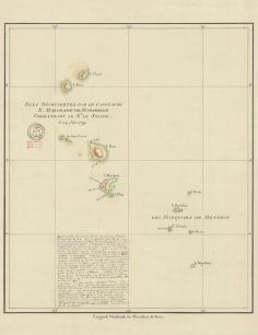
Cliquer sur l’image pour l’agrandir Titre : Isles découvertes par le Capitaine Etienne Marchand de Marseille commandant le Navire Le…
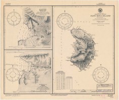
Cliquer pour agrandir l’image Titre : Nautical charts of Fatu Hiva, Marquesas Islands, French Polynesia, South Pacific Ocean. Insets: Hana…
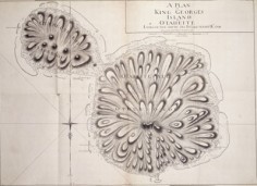
Cliquer sur l’image pour l’agrandir Titre : A plan of King Georges Island or Otaheite lying in the South Sea, by…
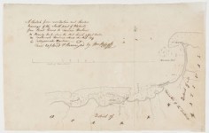
Cliquer sur l’image pour l’agrandir Titre : Series 50.06: ‘A Sketch from recollection and Anchor Bearings of the North part of…
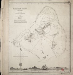
Cliquer sur l’image pour l’agrandir Titre : Gambier’s Group, (inhabited) surveyed by Captn. F.W.Beechey R.N. F.R.S. 1826 Auteur : Capitaine F.W.…
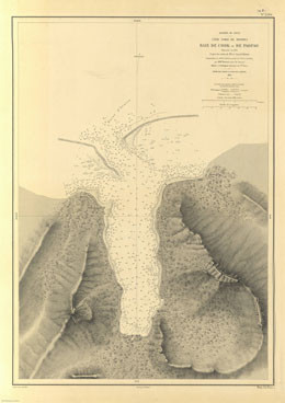
Cliquer sur l’image pour l’agrandir Titre : Baie de Cook ou de Paopao – Côte nord de Moorea – Archipel…

